Earth Intelligence powered by satellite imagery, SAR and AI-driven geospatial analytics.
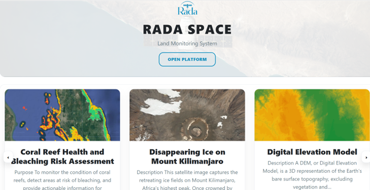
Rada Space – Land Monitoring is an Earth intelligence platform delivering satellite imagery, SAR, and AI-powered geospatial analytics to governments and enterprises across environmental, civil, and commercial sectors.
The platform integrates satellite tasking, archival data search, and advanced analytics into a unified system providing transparent pricing, rapid delivery, and actionable insights.
From mining, finance, maritime, construction, and real estate to forestry, insurance, ESG reporting, and environmental protection — our analytics help you monitor what matters most.
The Earth's surface is covered by over 70% water. This vital resource is under pressure from over exploitation and the direct and indirect effects of climate change. Earth Observation services support monitoring of ocean warming, sea level rise, acidification, and coastal dynamics.
EO data enhances hydrodynamic modeling and forecasting by providing large-scale data assimilation to improve prediction accuracy.
High-resolution marine forecast maps provide data on currents, waves, sea temperature, and salinity supporting coastal authorities and commercial sectors such as tourism and shipping in optimizing operations.
Advanced digital platforms enable automated data exchange, visualization, processing, and forecasting supporting ship routing, oil spill back-tracking, and coastal resilience strategies.
Track wildfires, floods, droughts, deforestation, pollution, maritime activity, assets, and land-use change in near real time.
Book your demo and experience next-generation Earth intelligence.
Book Your Demo & Try Today