


Latest Post
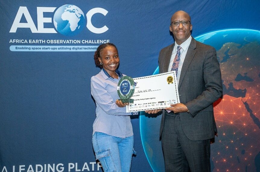
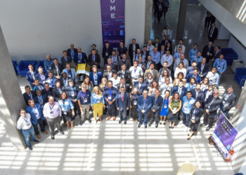
Rada 360 won the Africa Earth Observation Challenge (AEOC)
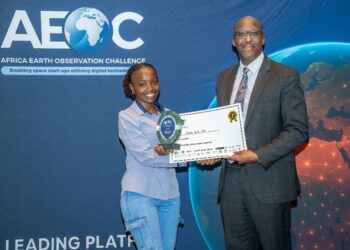
Rada 360 won the Africa Earth Observation Challenge (AEOC) Rada 360 emerged as the second-place winner of the Africa Earth Observation Challenge (AEOC) 2025 during the finals held in Nairobi, alongside the...
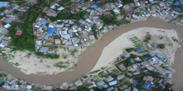
Flood Risk Assessment in Rufiji District
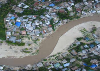
Flood Risk Assessment in Rufiji District Rufiji District experiences frequent seasonal flooding due to heavy rainfall, river overflow, and low-lying floodplain settlements. Expanding agriculture and unplanned land use continue to increase exposure...
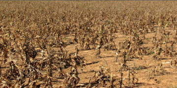
Agricultural Drought Assessment in Babati District
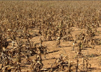
Agricultural Drought Assessment in Babati District Babati District faces frequent agricultural droughts due to irregular rainfall patterns, prolonged dry spells, and land degradation. These challenges threaten crop productivity, reduce yields, and increase...

Rada 360 was announced as the winner of the 2025 GoGettaz Africa Catalyst Award
Rada 360 was announced as the winner of the 2025 GoGettaz Africa Catalyst Award Thrilled to announce that Rada 360 has won the 2025 GoGettaz Africa Catalyst Award!Dakar, Senegal | September 4,...
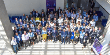
Showcasing Rada Space at the Africa Satellite Navigation Conference in Cabo Verde
Showcasing Rada Space at the Africa Satellite Navigation Conference in Cabo Verde Musa Mishamo, the Founder and CEO of Rada 360 Ltd, got the honor to join a distinguished group of leaders...
Rada 360 was invited to present at the Brazilian Space Industry Workshop
Rada 360 was invited to present at the Brazilian Space Industry Workshop, which was held from the 2nd to 3rd of April 2025 in São Paulo, Brazil. Rada 360 presented space applications in precision...
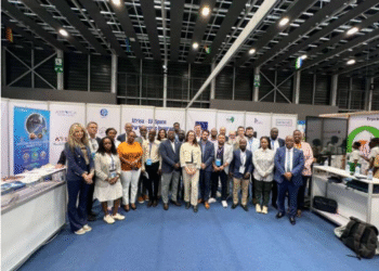
Rada was selected as one of the top 10 African startups by the African Space Agency (AfAS)
Rada was selected as one of the top 10 African startups by the African Space Agency (AfAS) to exhibit its solution at the Market for African Space Solutions (MASS) held in Abidjan,...

Rada 360 is among the winners of 2025 ClimAccelerator in Tanzania
In April 2025, Rada 360 was among the winners of the 2025 Adaptation and Resilience ClimAccelerator in Tanzania, a programme powered by SmartLab and Climate-KIC. The program focuses on protecting rural communities...

Rada 360 CTO has been selected by innovative with EU space Data
Mariagoreth Abel, Rada 360 CTO, GIS & Remote Sensing Expert has been selected by Innovate with EU Space Data to join the prestigious European Copernicus Program. This program empowers African women in...

Rada 360 is a space-tech company providing space based solutions in precision agriculture, Earth Observation and space based on education:
👉 LEARN MORE.