Transforming Earth Observation data into actionable climate risk intelligence for societal security, resilience, and sustainable development.
Climate Security reframes climate services to support societal stability and safety. Extreme weather events are increasing in frequency and intensity, impacting infrastructure, economies, and vulnerable communities worldwide.
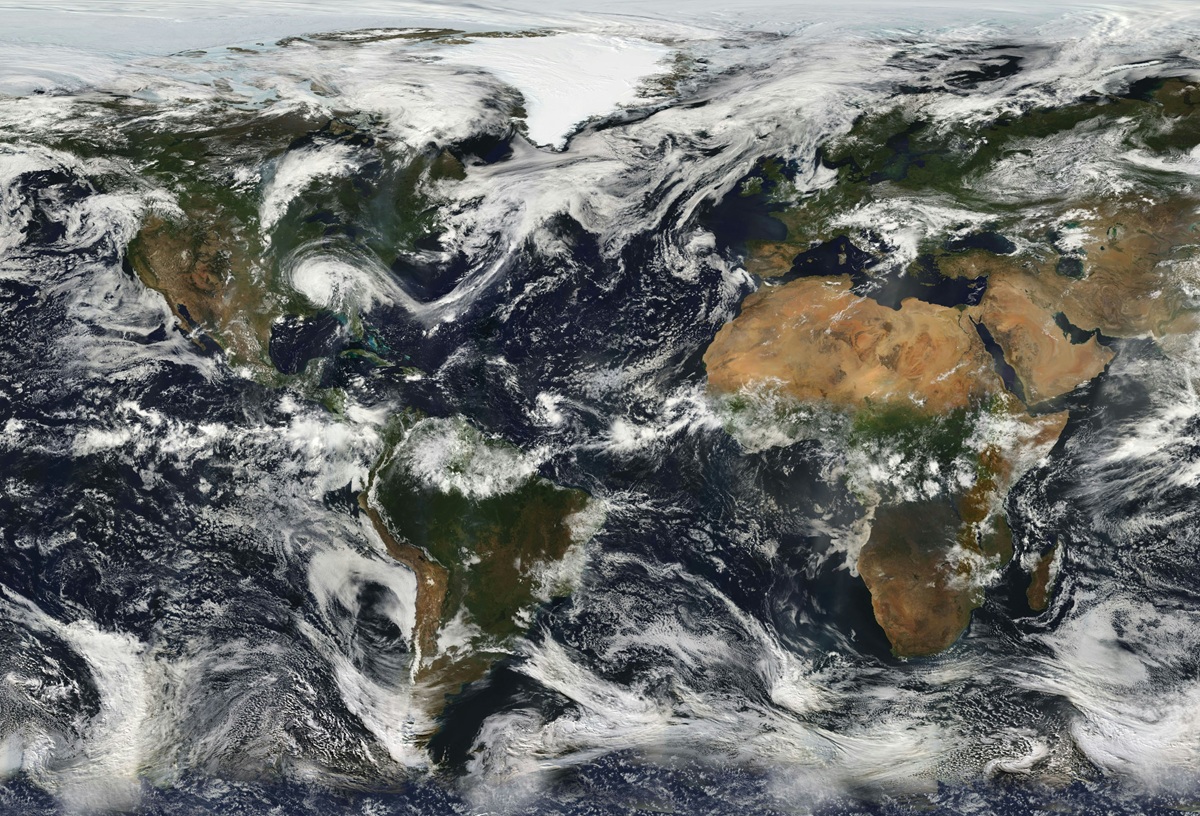
The value of spaceborne data in tackling climate-related security risks is now globally recognized. Beyond meteorological satellites, high-resolution Earth Observation imagery enables the integration of climate data with socio-economic indicators.
This approach allows institutions to assess vulnerability, exposure, and resilience, delivering tailored intelligence for policy makers, security agencies, and NGOs operating in high-risk regions.
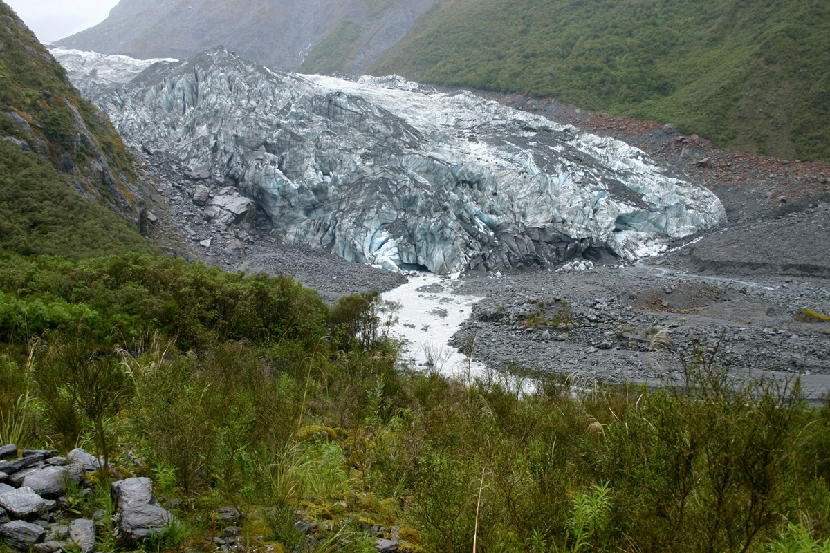
Identify high-risk zones exposed to floods, droughts, heatwaves, and land degradation using satellite analytics.
Continuous tracking of vegetation health, rainfall anomalies, and hydrological patterns to support early warning systems.
Advanced modeling solutions supporting both experts and community stakeholders in disaster preparedness.
Rada develops innovative tools including Flood Risk & Impact Assessment platforms, supporting GEO Space & Security communities and organizations operating in climate sensitive geographical areas.
By combining satellite time-series data and AI-powered geospatial analytics, Rada transforms climate information into operational intelligence for resilience-driven decision making.
Get actionable climate risk intelligence for informed decision making.
Request Climate Risk Assessment