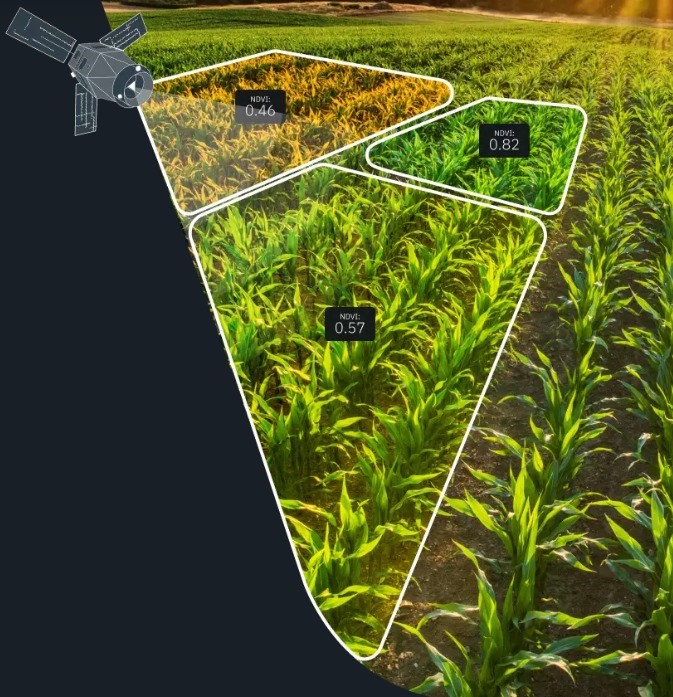
Rada 360 offers precision farming services powered by Earth Observation and satellite imagery technology. By leveraging satellite data, we assist farmers with crop monitoring, tracking key indicators such as crop health, vegetation, chlorophyll levels, germination, nutrient content, and moisture. Farmers receive weekly satellite images to stay updated on the condition of their fields. Our localized climate data provides a 14-day weather forecast, including precipitation, temperature, and wind information, essential for planning farming operations.

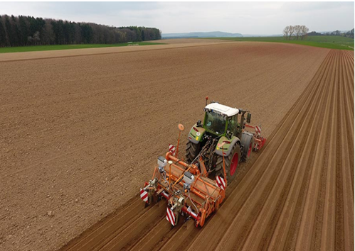
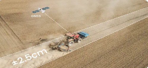
At Rada 360 Ltd, we also create digital soil maps and variable application maps, enabling farmers to apply the right amount of inputs precisely where needed, optimizing input costs. Our Global Navigation Satellite System (GNSS) solutions help automate agricultural machinery, enhancing efficiency and productivity in operations like row formation, planting, spraying, spreading, and yield monitoring.
Agricultural Machine Automation: Steering Systems
Rada’s wide selection of vehicles and implements steering systems ensures you get the solution that steers your equipment with maximum precision.

Free satellite signals and plenty of competition between manufacturers mean simple agricultural GPS guidance systems are more affordable than ever. Agricultural Machine Automation.

Rada leverages Global Navigation Satellite System (GNSS) technology to offer Tractor Auto steering Systems, an advanced precision farming solution for various tasks such as land preparation, planting, spraying, and harvesting. Rada ensures you benefit from the following:
✅ Reduction in farm operational costs (fuel, inputs)
✅ Elimination of skipping and overlapping (straight lines)
✅ Enhanced efficiency of operations
✅ Increased work output in less time
✅ Assistance for less experienced operators
✅ No fatigue

