Taming Mount Kilimanjaro’s Fires in Tanzania with Cutting-Edge Space Technology
Mount Kilimanjaro, the highest mountain in Africa and a UNESCO World Heritage Site, is a beautiful and ecologically diverse area that attracts thousands of tourists every year. Unfortunately, it is also prone to wildfires which can cause significant damage to the ecosystem and disrupt local communities. Firefighting in such a rugged and remote area can be a difficult and dangerous task, but technology like satellite imagery and global navigation systems can make it more efficient and effective.

Taming Mount Kilimanjaro’s Fires in Tanzania with Cutting-Edge Space Technology

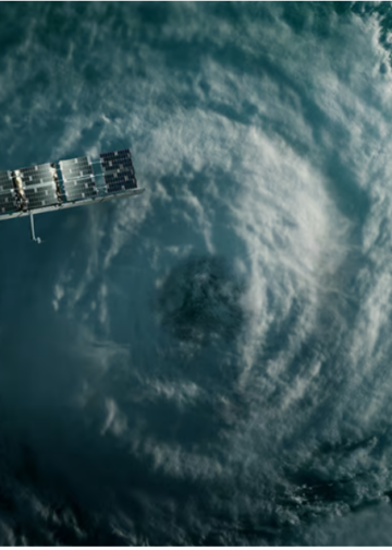
Satellite imagery can be one of the most valuable tools for firefighting on Mount Kilimanjaro. Satellites equipped with thermal imaging cameras can detect the heat signatures of fires from space, allowing firefighting crews to quickly locate and assess the extent of the fire. They can also monitor the fire’s progression and predict its potential spread, which helps to guide firefighting strategies.

Forest and brush fires swept over the slopes of Mount Kilimanjaro, Tanzania in mid-October 2020. This PlanetScope image, collected on October 12, captured the dense smoke that covered large portions of the mountainside. Source: Planet labs
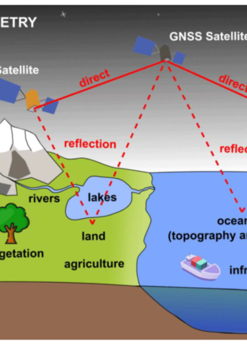
In addition, satellites can also provide detailed imagery of the terrain, which helps firefighting crews navigate the steep and rugged landscape of the mountain. This can be especially useful in identifying potential barriers to the fire’s spread, such as rivers or rocky outcroppings. This information can help crews to create a detailed map of the area and to plan their actions accordingly.

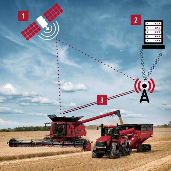
Global navigation systems, like GPS, are also can play a crucial role in firefighting efforts on Mount Kilimanjaro. These systems allow firefighting crews to accurately track their location and movements, as well as coordinate with other teams. This helps to ensure that resources are used effectively and that crews are able to quickly respond to changing conditions. With the help of GPS, the firefighting teams can also mark critical areas, like water sources, and monitor the fire’s advancement.
The use of satellite imagery and global navigation systems can greatly improve the ability of firefighting crews to quickly and effectively respond to fires on Mount Kilimanjaro. These technologies can help to protect the mountain’s fragile ecosystem and local communities, as well as minimize disruptions to tourism. The real-time data provided by the satellite images allows for a prompt response and adaptation of firefighting strategies which can help to prevent the fire from spreading and causing more damage.
In conclusion, satellite imagery and global navigation systems can become essential tools in firefighting on Mount Kilimanjaro. These technologies can greatly improve the ability of firefighting crews to quickly and effectively respond to fires, helping to protect the mountain’s fragile ecosystem and local communities, as well as minimize disruptions to tourism. As technology continues to advance, the use of these tools will become even more important in the fight against wildfires on Mount Kilimanjaro and other areas around the world.


